Modern farming is becoming increasingly data-driven, with technology helping farmers make better decisions that improve productivity and reduce costs. One of the most valuable tools available to South African farmers is Geographic Information System (GIS) technology and digital farm mapping. These technologies allow farmers to collect, analyse and visualise information about their land, crops, livestock and natural resources with greater accuracy than ever before. Whether managing a small mixed farm or a large commercial enterprise, mapping technology can provide valuable insights that support more efficient and sustainable farming practices. As agriculture continues to evolve, the use of GIS is becoming an important part of precision farming across South Africa.
A Geographic Information System is a computer-based technology that captures, stores and analyses geographical data. On a farm, GIS combines satellite imagery, drone photographs, GPS coordinates and field information to create detailed digital maps of the property. These maps help farmers understand how different parts of their land perform under varying conditions. Information such as soil types, crop health, water sources, grazing areas and field boundaries can all be displayed on a single digital platform. This allows farmers to identify patterns and make informed management decisions based on accurate data rather than assumptions.
One of the greatest advantages of GIS technology is its ability to improve land management. Every farm contains areas with different soil characteristics, drainage patterns and production potential. Digital mapping enables farmers to identify these differences and manage each area according to its specific needs. Instead of applying fertiliser, seed or irrigation uniformly across an entire field, farmers can target individual zones that require more attention. This approach improves input efficiency, reduces waste and often leads to higher crop yields while lowering production costs.
Soil mapping is one of the most valuable applications of GIS on South African farms. By combining soil sampling results with digital maps, farmers can identify variations in soil fertility, pH levels, nutrient availability and organic matter across their fields. Understanding these differences allows for more precise fertiliser recommendations and better crop planning. Farmers can also identify areas that are vulnerable to erosion or poor drainage and implement conservation measures before serious problems develop. Protecting soil health is essential for maintaining long-term agricultural productivity and sustainability.
Water management is another area where mapping technology provides significant benefits. South Africa is a water-scarce country, making efficient water use essential for successful farming. GIS can help farmers map irrigation systems, monitor water distribution and identify areas where water is being lost through leaks or poor drainage. Digital elevation models can also show how water moves across fields during heavy rainfall, helping farmers improve drainage and reduce flood damage. Better water management supports healthier crops while conserving one of agriculture’s most valuable natural resources.
Livestock farmers are also benefiting from GIS and digital mapping technologies. Grazing camps, watering points, fencing and livestock movement can all be mapped and monitored more effectively. Farmers can assess grazing pressure, rotate camps more efficiently and monitor veld conditions throughout the year. Mapping also assists with planning new infrastructure such as fences, roads, handling facilities and water systems. Better management of grazing resources contributes to healthier livestock, improved pasture recovery and more sustainable farming operations.
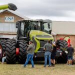
The integration of GPS technology with farm machinery has further expanded the value of GIS in agriculture. Many modern tractors, planters, sprayers and harvesters use GPS guidance systems that operate alongside digital field maps. This technology improves accuracy during planting, fertiliser application and crop spraying while reducing overlaps and missed areas. Greater precision saves fuel, reduces input costs and minimises environmental impacts. Farmers also benefit from improved record-keeping because every field operation can be digitally recorded and analysed for future planning.
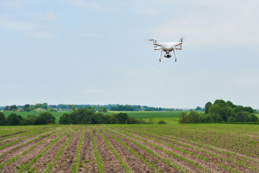
Drone technology has become another powerful tool that complements GIS mapping on South African farms. Drones can capture high-resolution aerial images that reveal crop health, pest infestations, irrigation problems and nutrient deficiencies long before they become visible from the ground. These images are integrated into GIS software, allowing farmers to monitor crop development throughout the growing season. Early identification of problems enables faster intervention, helping reduce crop losses and improve production outcomes. Drone surveys also save time by allowing farmers to inspect large areas quickly and efficiently.
GIS technology plays an increasingly important role in environmental conservation and climate adaptation. Farmers can use mapping tools to identify sensitive ecosystems, wetlands and conservation areas that require protection. Digital maps also assist in monitoring changes caused by drought, floods or soil degradation over time. By analysing historical data alongside current conditions, farmers can make more informed decisions about crop selection, grazing management and water conservation. These capabilities are becoming increasingly valuable as climate variability continues to affect agricultural production across South Africa.
Although adopting GIS technology requires investment in software, equipment and training, the long-term benefits often outweigh the initial costs. Many farmers begin by using simple GPS mapping applications before expanding to more advanced precision agriculture systems as their operations grow. Agricultural consultants, extension officers and technology providers can assist farmers in selecting mapping solutions that match their production needs and budgets. As digital agriculture becomes more accessible, even smaller farming enterprises can benefit from improved decision-making and resource management. Investing in mapping technology is increasingly viewed as an investment in the future competitiveness of the farm.
Using mapping and GIS technology is transforming the way farming is managed across South Africa. By providing accurate information about land, crops, livestock and natural resources, these technologies enable farmers to improve efficiency, reduce production costs and increase sustainability. From soil mapping and water management to precision planting, livestock monitoring and environmental conservation, GIS offers practical solutions for many of the challenges facing modern agriculture. As technology continues to advance, digital mapping will become an even more valuable tool for supporting profitable and resilient farming businesses. Farmers who embrace GIS today are positioning themselves to make smarter decisions, protect their natural resources and build stronger agricultural enterprises for the future.
Join 'Farmers Mag' WhatsApp Channel
Get the latest Farming news and tips delivered straight to your WhatsApp
CLICK HERE TO JOIN