Satellite imagery has revolutionized farming practices worldwide, offering unprecedented insights and opportunities for precision agriculture. In South Africa, where agriculture plays a crucial role in the economy, satellite imagery is increasingly utilized for farm planning, management, and optimization. Here are ten ways farmers in South Africa can leverage satellite imagery for enhanced productivity and sustainability:
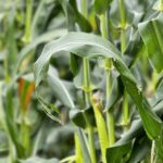
- Crop Monitoring and Health Assessment: Satellite imagery provides farmers with real-time updates on crop health and growth patterns. By analyzing multispectral and infrared data, farmers can identify stress factors such as pests, diseases, nutrient deficiencies, or water stress early on.
- Yield Prediction: Using historical satellite data and machine learning algorithms, farmers can predict crop yields with greater accuracy. This helps in better financial planning and resource allocation.
- Soil Mapping and Analysis: Satellites equipped with radar and spectral sensors can map soil properties such as moisture content, texture, and fertility levels. This data aids in optimizing fertilizer and irrigation strategies tailored to specific soil conditions.
- Weather Monitoring and Forecasting: Satellite imagery enables farmers to track weather patterns, anticipate severe weather events, and plan farming activities accordingly. This proactive approach helps minimize crop losses due to adverse weather conditions.
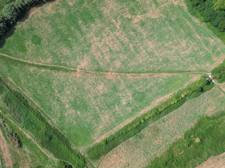
- Field Boundary Mapping: Satellite imagery provides high-resolution mapping of field boundaries, facilitating precise land management and boundary compliance. This is particularly useful for large-scale farms and in land tenure systems.
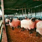
- Water Management: Satellite data assists in monitoring water resources, including reservoir levels, river flow rates, and groundwater mapping. Farmers can optimize irrigation schedules, detect leaks, and manage water resources sustainably.
- Pest and Disease Outbreak Detection: Early detection of pests and diseases through satellite imagery allows farmers to implement targeted interventions, reducing the need for broad-spectrum chemical applications and minimizing crop damage.
- Precision Farming: By integrating satellite imagery with GPS technology and IoT devices, farmers can practice precision agriculture. This includes variable rate application of inputs like fertilizers and pesticides based on spatial variability identified in satellite images.
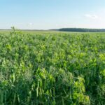
- Crop Type Classification: Satellite data aids in identifying different crop types across large areas, providing insights into crop rotation patterns, land use changes, and compliance with agricultural regulations.
- Environmental Monitoring and Compliance: Satellite imagery supports environmental monitoring by assessing land use changes, deforestation, soil erosion, and habitat conservation efforts. It helps farmers comply with environmental regulations and certifications.
In conclusion, satellite imagery has become an indispensable tool for modern farming in South Africa, offering farmers actionable insights for sustainable and efficient agricultural practices. As technology advances and satellite data becomes more accessible, its role in transforming agriculture and ensuring food security will continue to expand.
By leveraging these capabilities, South African farmers can enhance productivity, minimize environmental impact, and contribute to the long-term sustainability of agriculture in the region.
Join 'Farmers Mag' WhatsApp Channel
Get the latest Farming news and tips delivered straight to your WhatsApp
CLICK HERE TO JOIN